
Drones in Archaeology. State-of-the-Art and Future Perspectives
Stefano Campana
Jeudi 10 novembre 2016 à 17h30, salle F (escalier D, 1er étage), École normale supérieure, 45, rue d’Ulm, 75005 Paris
Conférence dans le cadre des « Jeudis de l’Archéologie »
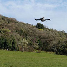
In addition to traditional platforms for low-level remote sensing (balloons, kites, etc.) new and more complex automated systems (UAVs or drones) have become available in the last decade. The success and market expansion of these platforms has been a driving force in the development of active and passive sensors specifically designed for UAVs. In the last few years archaeologists have started testing both platforms and sensors, particularly for the following applications : 3D documentation of archaeological excavations ; 3D survey of monuments and historic buildings ; survey of archaeological sites and landscapes ; exploratory aerial survey ; and the archaeological survey of woodland areas. The scale of these applications has ranged from site-based to landscapes-based (approximately up to about 10 km2 in extent). The role of such platforms in the archaeological survey of excavations and landscapes, and in diagnostics more generally, is of great interest and is inexorably growing.
Keywords – UAV archaeology ; 3D survey ; 3D modeling ; Aerial reconnaissance ; Woodland Archaeology
- Conférence S. Campana 10-11-2016
Responsable : Laure Salanova